Guangxi Institute of Geographic Information Surveying and Mapping, China
July 2018 - Sept. 2018- Geospatial Data Analysis Intern
Participated in the Third National Land Survey of China, focusing on indoor data processing and verification to ensure accuracy and completeness of the final datasets. Responsibilities included performing consistency checks on vector and attribute data (e.g., land-use classification codes, area balance, topology closure), and developing SQL and Python scripts to automate batch validation, replacing manual record-by-record inspection.
For analytical tasks, I used Matplotlib to categorize land survey data into major classes such as cropland, forest, and construction land, and generated batch time-series trend charts. These charts supported filtering at both township and county levels, enabling the team to directly compare land-use changes across years and regions. This approach significantly improved the ability to detect anomalies such as cropland loss or abnormal expansion of construction land, guiding targeted field re-verification.
In addition, I helped design an automated reporting workflow by combining Excel with Python. After data cleaning, the workflow generated standardized reports summarizing land-use proportions, annual change rates, and accompanying visualizations. This improved both the readability and compliance of deliverables. As a result, the efficiency of indoor data review increased by ~40%, helping the team deliver final results within tight deadlines.
Business Management Department of Guangxi Map Institute, China
July 2020 - July 2021- Business Management Division (Project Supervisor)
Took charge of institute-wide project management, client coordination and maintenance, documentation, bidding, and review. Actively participated in the tendering process for fundamental surveying projects, including drafting technical proposals, preparing cost estimates, and organizing defense presentations. Engaged in over 20 tenders, leading 5 major bids as project manager, resulting in successful contracts worth over RMB 12 million in total.
Delivered 32 high-priority mapping services directly for the leaders of the Guangxi Autonomous Region government. These projects required rapid turnaround—handling tasks such as land use status maps, thematic maps of key planning zones, and transport/population distribution maps. I managed the entire workflow from requirement analysis to final delivery within 48 hours, earning written commendations from senior officials for timeliness and quality.
Over the course of serving 52 geological survey teams, I independently developed a lightweight Python-based geospatial data extraction tool. The tool automatically identifies target features (e.g., terrain points with elevation >500m, mountain areas with slope >30°) from uploaded vector datasets and outputs them in CSV/GeoJSON formats. This fully replaced manual filtering processes, reducing processing time from ~3 hours to just 10 minutes—a ~95% efficiency improvement. The tool was later integrated into multiple departmental workflows, significantly streamlining routine data handling.
Additionally, I initiated and led the “Drowning Prevention Early-Warning Map” public welfare project. Using Python, I batch-collected hydrological data (rivers and reservoirs) within a 1 km buffer of seven elementary schools in Guangxi, then applied GeoPandas to compute linear distances between schools and nearby water bodies. Based on the rule “<500m = High Risk,” I designed an automated risk labeling system. Finally, I built an interactive risk map with Plotly, featuring zoom, filter, and hover-query functions. This map was deployed in local drowning prevention training sessions, providing clear visual decision support for governments and schools.
In parallel, I was responsible for project documentation, archival management, and cross-departmental communication. I routinely delivered progress reports and data summaries to institute leadership, gaining substantial experience in inter-team coordination and high-level project management.
Data Engineering Branch of Guangxi Map Institute, China
Aug. 2021 - June 2022- Data Engineering Branch (GIS R&D Engineer)
As a core member, actively participated in the National Geographic Conditions Survey and the Chongzuo “Land and Housing Integration” Registration Project, taking responsibility for both field surveying and indoor data processing. In the field, I designed and implemented UAV aerial survey control point layouts and conducted high-precision RTK measurements, ensuring orthophoto correction accuracy within 0.1 meters, fully meeting registration and national technical standards. I also applied RTK + GNSS real-time differential correction to improve data consistency and reliability during acquisition.
For indoor processing, I led the batch calculation of building attributes by developing a custom Python-based workflow. This toolchain automatically parsed CAD engineering exports to extract building attributes (e.g., floor area, building height, plot ratio, structure type), and applied Pandas for data cleaning, normalization, and indicator calculation (e.g., plot ratio distribution, total floor area aggregation, planned vs. existing comparison). Using XlsxWriter, I automated the generation of Excel reports embedded with formulas and charts, enabling direct use in project submissions and stakeholder presentations.
This workflow was validated across 10+ projects: processing time per project was reduced from 1 full day to just 2 hours, achieving ~85% efficiency improvement. Data accuracy was maintained with errors below 0.3%, well within regulatory thresholds. The workflow was later adopted by the department as part of its routine processing pipeline, significantly reducing repetitive manual computation in deliverable preparation.
Additionally, I contributed to data quality assessment and result presentation: using Matplotlib and Seaborn to visualize statistics (e.g., histograms of floor area distribution, line charts comparing plot ratios across projects), which were showcased during project review meetings. These visualizations enhanced the clarity, persuasiveness, and overall professionalism of the deliverables.
Map Engineering Branch of Guangxi Map Institute, China
June 2022 - Feb. 2023- Mapping Engineering Branch (GIS Cartography Automation Engineer)
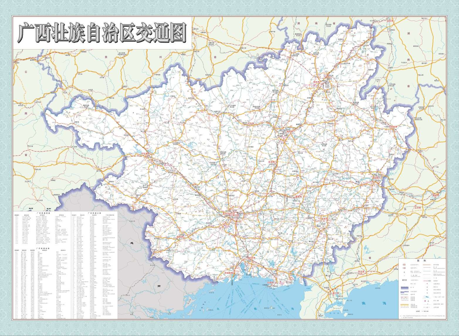
During my participation in Guangxi's "One Village, One Map" project and the compilation of Field Chief Maps, I took the lead in standardizing the mapping and data integration for 560 administrative villages. I spearheaded the development of a full-process technical system encompassing "data preprocessing - automated mapping - quality verification," which significantly improved both project efficiency and result accuracy.
In practice, addressing issues such as fragmented vector data formats (including 8 types like SHP, CAD, and GeoJSON) and inconsistent attribute fields (with 12 variations for "cash crops"), I first used Python scripts to batch convert multi-source data, unifying the coordinate system to the 2000 National Geodetic Coordinate System. I also formulated the Manual for Standardizing Attribute Fields of Village-level Maps, streamlining core attributes into 15 key indicators such as "village area," "arable land ratio," "major cash crops," and "collective economic organizations."
I developed a three-tier automated scripting system based on ArcPy: The basic layer implemented the "village name + administrative code" naming rule for layers, while simultaneously completing batch symbolization of 12 types of elements such as roads, water systems, and residential areas. The middle layer called preset layout templates (containing fixed elements like regional, municipal, and county-level map review stamps, Field Chief Responsibility Notice Boards, and legend scales), automatically adapting to map scaling ratios for different village territories. The high-level scripts, linked with Pandas, filtered target attributes from 130,000 village-level ledger entries and batch-mounted them to annotation layers via spatial association algorithms. For missing values, a mechanism of "average value filling from adjacent villages + manual review" was designed, controlling the attribute association error rate to within 0.3%.
I innovatively introduced a "mapping - verification" closed-loop tool: A layer integrity verification script was developed to automatically detect missing elements and generate revision lists. A lightweight web preview platform was built to allow township-level users to mark issues online; once feedback was submitted, the system automatically located the corresponding map files. Through this system, the full process time for a single map, from data preparation to final output, was reduced from 5 days to 1 day. Specifically, the efficiency of the attribute entry process improved by 97%, saving a total of over 280 person-days in labor costs.
The project results not only supported the "Map-based Operations" needs of Guangxi's Field Chief System but also its standardized mapping scheme was incorporated into the Technical Guidelines for the Compilation of Village-level Maps in the Region. Subsequently, the technology was reused in rural revitalization planning projects in Liuzhou, Wuzhou, and other regions, with the relevant automated scripts recognized as a "Technical Innovation Case" by the Guangxi Zhuang Autonomous Region Department of Natural Resources.
Guangxi Department of Natural Resources, China
Feb. 2023 - Sept. 2023- GIS Comprehensive Technology Position
1. Led multi-project batch validation of surveying attribute data.
For village-level maps in projects such as “One Village, One Map” and “Rapid Map Supply System,” developed Python scripts for multi-rule validation (using re library to detect errors such as “incorrect area unit format,” “date out of range,” etc.), visualized error proportions with Matplotlib, and compiled validation reports. Replaced manual checking; used GeoPandas to batch-check vector topology (e.g., closed boundaries, overlapping roads). Improved validation efficiency by 60% per batch (50 maps) with 100% error detection.
2. Led technical work on historical mapping data standardization.
For 3000+ historical administrative maps (formats: .dwg/.shp/.jpg), developed Python batch processing scripts. Converted .dwg files to Shapefile with ArcPy (unified coordinate system), cleaned attribute tables with Pandas (removed duplicate fields, unified units), auto-renamed files by “Region + Year.” Generated inventories with OpenPyXL for quick retrieval. Improved data reuse efficiency by 80%, supported 3 projects including “Maps for Guangxi Autonomous Region Leaders,” reducing manual lookup time by ~20 hours per case.
3. General affairs & document management.
Responsible for document circulation, drafting plans/reports, and daily comprehensive affairs, ensuring smooth coordination between technical and administrative work.